
AI and 35 years of satellite data deliver the first full map of a vital Amazon buffer zone
A University of Manchester-led team used AI and 35 years of Landsat imagery to produce the first wall-to-wall map of the Cerrado-Amazon transition zone in Brazil, giving conservation planners the empirical baseline they had been missing.
Artificial IntelligenceGNGV Editorial Team5 min read

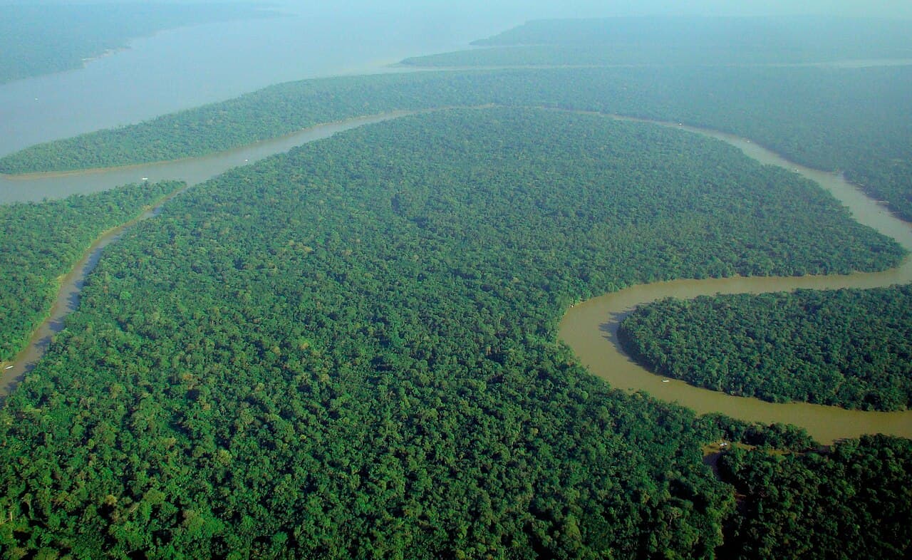
Between the Amazon rainforest and the Cerrado savanna lies a vast transition zone that has long been poorly understood, even as it absorbs heavy pressure from agriculture and fire. In a study published on May 26, 2026, in Biological Conservation, an international team led by Dr. Chuanze Li at the University of Manchester combined artificial intelligence with 35 years of Landsat satellite data to map this region in unprecedented detail.
The picture they produced is sobering but, crucially, actionable. The analysis documented more than 493,000 square kilometers, an area larger than Spain, damaged by deforestation and fire across the Cerrado-Amazon transition zone in Brazil. Many fire-affected areas showed no recovery even a decade later, and the team found that only about 2 percent of the region carries formal protection, a striking gap for an ecosystem that buffers one of the planet's most important carbon sinks.
What makes this an AI-for-good story is the tool, not just the warning. "The tools we used enabled us to produce the first wall-to-wall, multi-decade picture of what has actually happened to vegetation across this entire area," said Dr. Li. Hand-mapping three and a half decades of change across a region this size would be effectively impossible; machine learning made it tractable, turning an archive of raw satellite imagery into a coherent, decision-ready record.
The authors frame their work as supplying the empirical foundation that conservation planning in the region had been missing. With a clear map of where damage has occurred and where recovery has stalled, policymakers can target protection and restoration far more precisely than before, directing limited funds toward the places that need them most rather than relying on scattered, incomplete surveys. The finding that fire-scarred land often fails to bounce back even after a decade is itself a powerful argument for prevention over after-the-fact repair. The caveats are inherent to remote sensing: classifications carry uncertainty and benefit from ground validation, and a map alone changes nothing without political will and enforcement. But by replacing guesswork with evidence, this kind of AI-assisted Earth observation gives the people fighting for the Amazon a sharper, more honest view of what they are trying to save, and a common, data-driven baseline that scientists, governments and communities can all point to.