
A Free AI Map Now Tells Natural Forests Apart From Plantations Across the Whole Planet
Google DeepMind and Google Research, with the World Resources Institute and IIASA, have released Forest Typology (ForTy) 2020, an openly licensed 10-metre global map that classifies land into six categories, including primary, naturally regenerating and planted forest.
Artificial IntelligenceGNGV Editorial Team4 min readLast reviewed October 26, 2026
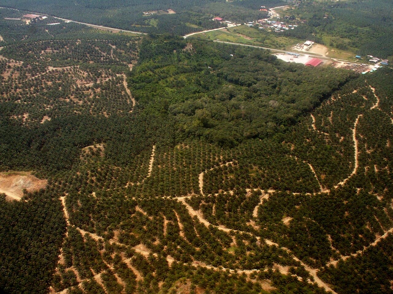
Satellite maps can tell us where there are trees. What they have struggled to tell us is what kind of forest those trees belong to: an ancient primary forest, a forest growing back naturally, or a timber or oil palm plantation. On 22 October 2026, Google DeepMind and Google Research announced a free global map designed to answer exactly that question.
The map, called Forest Typology (ForTy) 2020, was developed with the World Resources Institute (WRI) and the International Institute for Applied Systems Analysis (IIASA). It covers every patch of land on Earth at a resolution of 10 by 10 metres and sorts it into six categories based on UN Food and Agriculture Organization definitions: primary forest, naturally regenerating forest, planted forest, plantation forest, tree crops and agroforestry, and other land. The base map shows the world in 2020, and an early-release time series covers each year from 2017 to 2025, showing forest loss, regrowth and what replaced lost forest.
To build it, the team trained a model on about 1.7 million labelled locations drawn from expert surveys, national and regional datasets and reviews of places where the model struggled, using satellite embeddings from Google's AlphaEarth Foundations as a key input. Validated against more than 9,000 randomly selected sites, ForTy identified the correct forest type 90% of the time and distinguished forest from non-forest 95% of the time, which, according to the blog post, outperforms other global forest maps.
The distinction matters in practice. According to Google DeepMind, the map provides a key baseline for the European Union's deforestation regulation (EUDR), and knowing whether land holds primary forest, regrowth or a plantation is exactly the kind of detail such rules depend on. It is freely available on Google Earth Engine under an open licence, can be downloaded from Figshare, and is described in a paper in the journal Scientific Data.
The developers are open about its limits. The time series is an early release that will keep improving with partners and users, and because forest categories depend partly on how land is used rather than just how it looks, classification is harder than simple tree-cover mapping. The model outputs a probability for each class, so users such as companies assessing deforestation risk must choose how much certainty they need. Still, a free, planet-wide view of forest types is a powerful new tool for protecting the forests that matter most.
Why it matters
Knowing where natural forests are, not just where trees are, helps governments, companies and communities protect irreplaceable ecosystems and enforce deforestation rules.
Sources
What you can do
Explore the ForTy map on Google Earth Engine, and look for deforestation-free certification on products like palm oil, coffee and timber.